How to recover 2Gigs of space on your new Leopard install!

I installed Leopard the weekend after it came out. Besides the few things I wrote about in the past that aren’t working. I really like it for the most part.

I have a MacBook Pro with a 120 Gig hard drive in there. I allocated 15 gigs to Windows, so that doesn’t leave me with much space really. Since this is my MAIN desktop and the computer I use for everything, I have _everything_ on here. After my recent trip to Europe, I’m running out of space. So I went looking for ways to save some space.

I found three things you can do to easily recover 2 Gigs of space on your mac:
1) Go to /System/Library/Speach/Voices/ and delete the folder called “Alex”. This is the newest voice from Apple, but sadly it takes up a whole 700 Megs of space! Insane!

2) Go to /Library/Application Support/iDVD/ and delete the folder called “Themes”. You just saved 500 Megs.

3) Go to /LIbrary/Application Support/iPhoto and delete the folder called “Themes”. You just saved another 500 Megs!

Suggestions: Make backups on an external drive first and don’t do this if you plan on using the themes to create books/cards/etc in iDVD or iPhoto. I don’t use either of those options, so it’s an easy and quick fix.

(I take no responsibility if you break something)!

Vienna Wrap Up

So Vienna…

Vienna, was not my favorite city. We got lost, constantly!

So we got there at the Southern Station and then had to go to the Western Station where our hostel was. We got on the tram and there was no where to put luggage, thankfully this really nice older guy gave up his seat so that we could get our luggage out of the isle. He also told us how many stops we had to go. Really friendly guy.

Got to our hostel and they told us we’d have to wait 3 hours before our room was ready! This was at 15:00!! So we put our luggage in storage and explored the area around our hostel some, found a grocery store to buy food in. I was carrying around a bunch of things of yogurt. Well, I dropped one and right next to where someone else had JUST broken a whole bottle of wine. Well the lady who was cleaning up the wine started yelling at me in German and I didn’t understand! :'(

Anyways, the first full day there we headed over to the Hofburg Complex. We wondered around that for a while and then went and saw the royal Imperial Apartments and Silver Collection. Both were very cool. After that we wondered around some more and they were setting up for some crazy Luxury living event thing. After that we tried finding our next activity, but we got lost and ended up next to the Rathaus City hall building where they were having a Christmas Market. Which is honestly one of my FAVORITE things about traveling in Europe at this time of year. They are absolutely wonderful! We shopped around there for a little bit and got lunch there. From there we headed over to the Sigmund Freud Museum which was very cool to see where he actually worked and lived. I wished they had more of his original stuff there, but they did have the waiting room setup the way he had it. We ended the day going to a Imperial Crypt in a church which wasn’t exactly what I was expecting, but still kinda cool.

The second day we walked around a lot, saw the Stephansdom which was neat. Around the corner from it was a place called Haas & Haas, we went back a few days later for some AMAZING dessert and tea! , found a cool Memorial which was all in Russian, so Constantine could read it. lol. I can’t remeber the exact name of it though and I don’t have the book with me to look it up. I was honestly surprised it was still standing. After that we headed over to the Belvedere and saw all the art there which was nice. That evening we went out and found the State Opera house which was really pretty all lit up at night and we saw a concert at the smaller Music theater next door. There were three encores! It was really good and I’m glad we went to it. After that we headed over to the famous Sacher for a slice of Sachertorte. Amazing! πŸ™‚

The third day we headed to the nation museums which were cool in the MuseumsQuartier. We saw Museum Moderner Kunst Stiftung Ludwig Wien and the Kunsthistorisches Museum. Both of them were really cool. It was also sunny that day so we took advantage of that and walked back over to the Stephansdom to take more pics of that. That night we headed out to Mango Bar which was lots of fun.

The last day in Vienna we went out to the Schloss Schonbrunn Palace. This place was amazing, and I highly suggest the longer tour as they save the best rooms for that tour! I was sad that it was so cloudy that day! That evening we headed back over to the Rathaus to take night time shots. Did some last minute shopping and then ate dinner at Cafe Resturant Landtmann which was just delicious! We then headed out to another gay bar called Heaven. The place was a dud. πŸ™

The next day we took the train back to Prague and spent the night at the hotel by the airport. We totally wanted to go try and find some hot Czech boy porn, but the only place that looked any good was closed that night! πŸ™

The flights back to LA were hellish. I got yelled at by the Air France people because the place was “Ready to leave”. I got stopped TWICE at different security points. The second one was AT the door to get on the plane and the woman was a total bitch. Made me take EVERYTHING out of my backpack. My wallet set off the metal detector because I have an extra key in there, so she made me empty that entire thing. All while the Air France lady is yelling at ME to hurry up because the plane is ready to go. Then we get on the plane and there is no where for me to put my baggage in the overhead thing and they are yelling at me to take my seat. They run out of Chicken dinners by the time they get back to me and only have Salmon, and I don’t eat that shit. Just an absolute nightmare! UGH!

Thank god the rest of the trip was excellent.

If you want to see our tracks that we did here’s a few different ways:

1) Download the GPX file and load it into your favorite program.
2) Download a Google Maps static image.
3) Download the Google Earth KMZ file. Download Google Earth here.
4) Or view it directly in your browser on Google Maps.

You can see all 531 photos from our trip to Vienna on the photodump.

Leopard is Failing me….

Leopard is failing me… I installed it the day it came out, and I really enjoy it. But there’s just so many unfinished items in it.

First was the Green Screen of Death.

Then, I wanted to test out Time Machine. I took my external drive that I’ve been using for backups forever. I reformatted it and then turned on Time Machine and told it to use that drive. The first backup worked great! After it was done, I was able to enter into that wonderful timewarp thing. But then, I couldn’t get back out! I clicked the “Cancel” button, nothing. I pressed “ESC” on my keyboard, nothing! I pushed the power button, NOTHING. I had to hold the powerbutton to force a power off…

The next day, I tried a new backup. I plugged in the same drive… And it chugged for a minute and then froze my entire computer! I couldn’t do anything. I had to force a power off. There have been other reports of this.

So that’s just annoying. Then I plugged in a different drive and Time Machine poped up asking if I wanted to use it as a backup drive. I clicked “No” and then tried ejecting the drive and my computer froze!

I am also having issues with Frontrow. I can get into it just fine, I can move around and access everything just fine. But as soon as I try and exit and get back to the desktop. My computer freezes completely.

Next, if I try and view a folder with lots of Images/PDFs in Finder, the whole computer freezes up again!

Then this morning, I was working on my computer and then went to finder and suddenly my computer thinks it has two identical drives in it!

WTF!

Lastly, I love having a fast connection!!!
My home connection:

My work connection:

GeoTagging Photos on a Mac

UPDATED: 2008-01-22 (GPSPhotoLinker)
UPDATED: 2008-03-26 (iPhotoToGoogleEarth)

In short:

The Long Story

I’ve recently got very excited about Geotagging photos. I’m getting ready to head off to Europe for a couple weeks, visiting both Prague and Vienna. I wanted to be able to track where we go in the cities. My past couple trips, including Berlin and Paris, I always get back and start trying to comment on my photos and I no doubt have trouble remember where in the city they were taken!

So this time, I want to be able to geotag them all. Needless to say, I don’t have the money to spend on a DSLR with built in GPS support, or even a DSLR that can support an external GPS unit. So I have to find a way to tag my photos from my trusty Canon Powershot SD630.

I started off with a Garmin Forerunner 201, which I borrowed from a guy here at the office. I used it for a few days of tracking my driving, it seemed to work pretty well, but it had trouble acquiring the satellites fast enough. It would take anywhere from 5-15 minutes, which just isn’t fast enough for me. Also, I was afraid that when in Europe it wouldn’t be able to hold a whole days worth of tracks.

There were a few other issues with the device as well. First, I could not find ANY software to work with it on my Mac. Even GPSBabel couldn’t seem to find it. Second was that the windows software only exported in Garmin Training Center (.TCX) file format. After some searching I was able to find a website that could convert the files to the correct GPX file format, but this would require that I have internet connection while in Europe. Which is not a guarantee.

So, this weekend I went out and bought a fairly cheap used Garmin eTrex Vista. I didn’t need or want anything too fancy. The maps, etc are unneeded. Plus I’m going to be attaching it to my backpack, so I don’t want anything expensive in case it gets stolen while in Europe.

The device so far seems to be working pretty well. It acquires signals in just a few minutes, and can hold 10,000 track points.

As for the Mac Software, I’ve found tons of software out there, however none of it seems to actually work!

For transferring the data points from the Garmin device to my Macbook Pro, I have found the best solution to be GPS Babel. It was able to easily and quickly find my GPS unit and then transfer the trackpoints off into the correct GPX file type data.

From there, I then was able to find Photo GPS Editor. It’s a pretty straight forward interface with a really nice wizard. It even gives you the ability to select a location on the map and set that as the starting point. It will then try and find the correct information for the pictures.

My major complain with this software is the “Offset”. Probably because I don’t understand what I’m supposed to be setting here. It seems that no matter what I put there, things are “close” to where they should be, but not quite correct. I know I’ll probably never get it EXACTLY on where the pic was taken. But still, I think they should be closer then where it’s being shown. IE. I have a picture of the “Fairfax Exit” on the I-10 freeway here in LA. The Photo GPS Editor is putting that picture as being taken about 2 miles past where it was actually taken at (2 miles north on Fairfax from the I-10).

I’m also very confused by the listing of the GPS unit’s data. It shows that there are 8 different track logs with many different points each. So I don’t quite understand what those all mean.

I’d been playing around with GPS PhotoLinker before I moved over to Leopard. However now it doesn’t seem to start (Something about a missing perl module). I have emailed the developer and he says it’s a known issue and should be fixed shortly. (UPDATE: The developer has been actively releasing beta versions that work on Leopard. Check out the site here.) UPDATE:// I have been using this software for a while now that it’s working on leopard and it works great! This is by far the best software to use!!!

Lastly, I tried out ImageIngester. At first the interface is very confusing and has way too much going on. It’s in some serious need of a redesign. However! I found at this software actually worked the best out of all of them!

Even though this software is very cumbersome in the design and not very intuitive (I’m not really going to go into what should be changed here), it was relatively easy to actually get the photos tagged with GPS data. The first thing I did was go to “ImageIngesterPro” and click “Switch Mode”. This disabled a lot of the advanced features which are useless for this experiment. Second, was to click the “Tools” option and select “GPS Input” to enable the use of GPS data.

Here the Offset stuff is much easier to change. I knew that my GPS and my camera were both set to Pacific time and I knew that my camera was an hour faster then my GPS. Under the option for “Camera Time Adjustment” I changed it to remove an Hour.

Next, click the “Choose” button to select your photos, then click “Start”. It was that easy! ImageIngester did all the rest.

Some of the other software I’ve tried has been:

  • GeoTag – This was a really nice software, however it only works on Windows because there is no Java 6 build for the Mac yet.
  • GeoTagger – This software wouldn’t even start on Leopard
  • HoudahGeo – This software seems nice, but it crashed my Mac every time I tried to export to Google Earth (which is something I really want to be able to do!). I’ve emailed the developer, but he’s been unable to resolve the issue at this point. (UPDATE: The developer has emailed me saying this will be fixed in 1.3, I have yet to try it out, but I am looking forward to giving it a shot tonight)

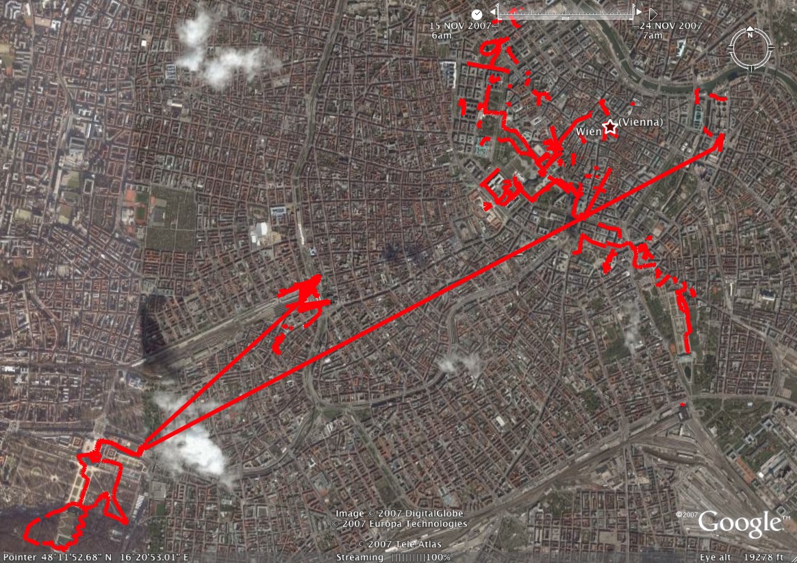
Now, as for getting things onto Google Earth. I was hoping for a quick and easy solution here. And Sure enough, there’s one available… That is, if you still have iPhoto 6. It’s called iPhotoToGoogleEarth. It’s supposed to export directly from iPhoto to a Google Earth KML file format. Of course, I no longer have iPhoto 6. Again, I emailed the developer and he is unsure when a new version will be available. So off I go to find a new solution.

UPDATE://iPhotoToGoogleEarth now works with iPhoto ’08! Great news and it appears to work great!!

The guy who wrote ImageIngester also wrote a nice blog entry about how to do this with some simple PHP. However, this is not exactly what I was hoping for. It’s a great way to do it, but I want people to download a KMZ format file and open it in Google Earth Locally. (And hopefully have a link back to the full size image online).

It seems that Picasa is the best solution, but last I checked it’s still only for Windows?

So far it looks as though I am out of luck on this issue. I’ve spent countless hours searching the web, perhaps I’m googling the wrong things, but I just have not been able to find anything! If you have any suggestions, let me know!

There’s a great article on GeoTagging on Wikipedia.

geotag kml mac
geotag kml
google earth kml
photo kmz export
google earth iphoto
export photos to google earth
create photo kmz on mac

Leopard’s Newest Feature – The Bright Green Screen of Death

So I was just happily using my Mac, working away. I had:

  • Firefox
  • iTunes
  • Netbeans
  • Mail
  • NetNewsWire
  • iTerm
  • SpamSieve
  • AdiumX
  • Activity Monitor
  • All opened. I was listening to music and had just clicked on a stack. The Stack expanded and then my external monitor went black and the main screen went a bright green!

    WTF!? Apple is this your latest hidden feature?

    Here’s a shot of it: